Journey back in time and take a walk through the historic streets of the world's greatest cities.
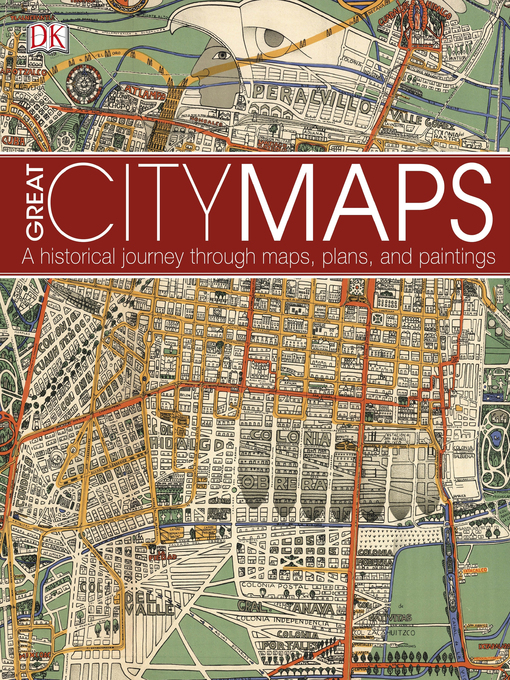
Great City Maps is the companion title to DK's Great Maps and takes a focused look at over 70 gorgeously illustrated historical maps and plans of cities around the globe. Dive into the detail of each beautiful map and learn about interesting features with visual tours of the maps' highlights - such as the Old London Bridge of London in 1572 and the orchards of Brooklyn in 1767 New York.
Cities are centres of civilisation and the way their maps portray them reflects their politics, religion, and culture. See how certain cities, and cartographic techniques, changed over time. More than just a bird's-eye-view, this unputdownable book tells the tales behind the cities from the hubs of ancient peoples to modern mega-cities, and profiles the iconic cartographers and artists who created each map.
Perfect for history, geography, and cartography enthusiasts and a stunning gift for armchair explorers of all ages, Great City Maps is your window into the world's most fascinating cities.
- No wait - Borrow Poorhara today!
- 20 most borrowed Adult Fiction eBooks 2024
- Available now
- New eBook additions
- Most popular
- Travel Guides
- Try something different
- Always Available eBook Classics
- Fantasy Series
- New Zealand Reads
- Life-Changing Reads
- How Have I Not Read This Yet??
- See all ebooks collections
- No wait - Listen to Quicksilver today!
- GraphicAudio - A movie in your mind
- Top 20 Most Borrowed eAudiobook Adult Fiction
- Available now
- New audiobook additions
- Listen to the radio
- Audiobooks narrated by celebrities
- Audio Available Now!
- Fantasy Series
- New Zealand Reads
- Full Cast audiobooks
- Life-Changing Reads
- How Have I Not Read This Yet??
- See all audiobooks collections